Endurance, day by day: Shackleton's expedition as an interactive map
I’ve just finished re-reading Endurance by Alfred Lansing for our book club. I always get engrossed in these stories of surviving against the odds, and what Shackleton and his men managed is verging on unbelievable.
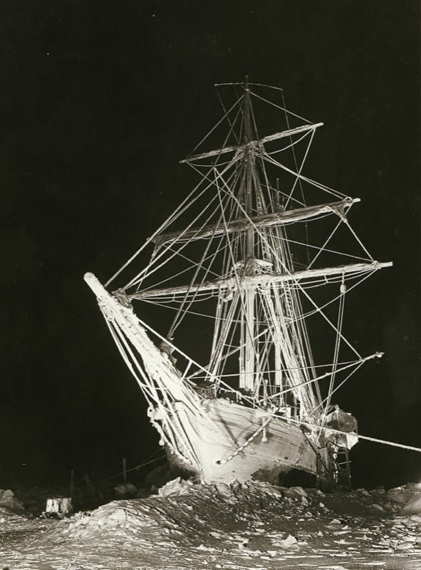
One issue I had with the book was visualising where they were on the map and what day-to-day life looked like. Now that AI has put this sort of thing much more within reach, I opened up Claude and gave it a three-sentence directive. I wanted an interactive timeline of the book, displayed as a map where you could adjust the date, pulling in publicly available journal entries, photos and audio where possible.
The first version (Claude Opus 5.5) chugged away for about an hour, and what it delivered was pretty incredible. As with most AI projects though, it’s really good at getting the first 80-90% done, and then there are details that are buggy or don’t quite line up. Photos weren’t showing at the right point in the journey, and it hadn’t thought about phones at all (to be fair, I hadn’t asked it to). I put on my editor hat, step through the whole thing, work out what I’d like to be better and go through several rounds of changes. It’s still not perfect, but something like this would previously have taken months, and now it’s more like an hour or two of my time.
Most of my changes were about making it usable on a phone, where there was far too much on the screen at once, and fixing the read aloud, which sounded pretty crappy. I spent quite a lot of time trying to get local models to recreate Shackleton’s voice, but they all came out sounding American. In the end I used ElevenLabs to design a voice that sounds about right for an English explorer of that time.
You can have a look at it here: www.bjnoel.com/endurance